
It is almost four years after the Mars Exploration Zone Map Design Competition organized by International Cartographic Association – Commission on Planetary Cartography and NASA, and I wanted to make an update what happened after.
Story of the contest
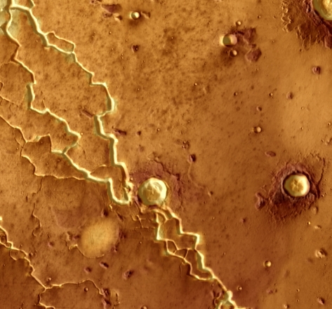
I took part in this contest because I had some free time and curiosity for Mars. In 2016 it was announced that I had 1st place…
“In University Student category:
1st place: Mateusz Pitura (Poland – Hebrus Valles)
2nd place: Brandon Zegiel, Gary Brown, David Brown, and Larry Lang (USA – Viking)
3rd place: Amy Wootton (South Africa – Noachis Terra)”
Link to source.
Link to description of winners work.

After the competition
I was encouraged to publish my work so I wrote a scientific article based on that project released by Springer in Advances in Cartography and GIScience. Within the paper, I describe how I made a map in details.
In July 2017 I came to the International Cartographic Conference in Washington DC to present my idea, and it was a really great experience where I met many inspiring people. I think that was the moment I decided to go into maps and GIS for real.
I have published also website (hebrusvalles.com) but after 3 years I took down the domain and it is available at other URL – ArcGIS Story Maps.
Moreover, there was also a short science article for sciencetrends.com presenting Hebrus Valles as a possible location for the first human step on Mars.
To summarize I just wanted to thank all people that were involved in this project, my University of Wroclaw, and especially my mentors: Henrik Hargitai and Artur Sobczyk. Without them, all of it wouldn’t have been possible.
Links and sources:
- https://planetcarto.wordpress.com/2016/04/22/mars-exploration-zone-map-competition/
- https://planetcarto.wordpress.com/2016/10/09/winners-of-the-exploration-zone-competition/
- https://planetcarto.wordpress.com/2016/11/02/cartographic-visions-of-mars/
- https://link.springer.com/chapter/10.1007/978-3-319-57336-6_11
- https://www.arcgis.com/apps/Cascade/index.html?appid=32ee77eddc3c4f91a282cdd0db9008be
- https://sciencetrends.com/hebrus-valles-possible-location-first-human-step-mars/
- https://uni.wroc.pl/mateusz-pitura-student-geologii-laureatem-konkursu-na-mape-strefy-eksploracyjnej-marsa/