
Poland has really great GIS datasets but its distributed across many websites so it is sometimes hard to get it. Here I am creating a gateway to find your way faster than ever.

poland-gis-datasets (this link opens in a new window) by sk1me (this link opens in a new window)
GitHub page gathering links to polish GIS datasets. Poland has really great visual data but its quite distributed across many websites. Here I am creating a gateway to find your way faster than ever.
Link to GitHub: https://github.com/sk1me/poland-gis-datasets
GitHub page gathering links to polish GIS datasets: vectors (points, lines, polygons), rasters and Web Map Services (WMS) or Web Map Tiled Services (WMTS). Feel free to update this database. Below you can see a mirror from GitHub page.
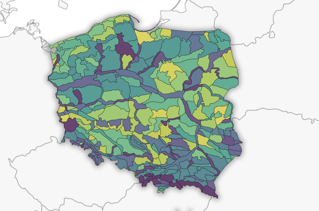
Administrative Datasets
Vector Datasets (SHP, GeoJSON and other)
- European Environment Agency – country polygon – 9,72 MB
https://www.eea.europa.eu/data-and-maps/data/eea-reference-grids-2/gis-files/poland-shapefile - polska-geojson GitHub – administrative division – 145 KB – 8 MB
https://github.com/ppatrzyk/polska-geojson - EnviroSolutions – Borders, administrative division, cadastral data, voivodships, communities, districts – various size
https://www.envirosolutions.pl/en/otwarte-dane.html - GIS Support – Borders, special borders, administrative division, cadastral data, voivodships, communities, districts – various size
https://gis-support.pl/baza-wiedzy-2/dane-do-pobrania/granice-administracyjne/ - Head Office of Geodesy and Cartography (GUGiK) – Adress points – 905MB (~20GB after extracting)
https://opendata.geoportal.gov.pl/prg/adresy/PRG-punkty_adresowe.zip - Head Office of Geodesy and Cartography (GUGiK) – Administrative boundaries, special borders, address points divided to voivodeships – various size
http://www.gugik.gov.pl/pzgik/dane-bez-oplat/dane-z-panstwowego-rejestru-granic-i-powierzchni-jednostek-podzialow-terytorialnych-kraju-prg
Geology Datasets
Vector Datasets (SHP, GeoJSON and other)
- The Polish Geological Institute (PGI) – Caves, boreholes, mining areas, groundwater bodies, seismics, geomorphology, cross section lines and more – various size
http://dm.pgi.gov.pl/ (https://geolog.pgi.gov.pl/)
Raster Datasets (GeoTIFF and other)
- The Polish Geological Institute (PGI) – Geological maps 1:50 000 to download – various size
https://geolog.pgi.gov.pl/
Hydrology Datasets
Vector Datasets (SHP, GeoJSON and other)
- EnviroSolutions – Water bodies, lakes, rivers – various size
https://www.envirosolutions.pl/en/otwarte-dane.html
Infrastracture Datasets
Vector Datasets (SHP, GeoJSON and other)
- EnviroSolutions – Roads, railroads, bike roads (Warsaw only) – various size
https://www.envirosolutions.pl/en/otwarte-dane.html
Environment and Nature Datasets
Vector Datasets (SHP, GeoJSON and other)
- EnviroSolutions – National, landscape parks, nature reserves, measurement stations – various size
https://www.envirosolutions.pl/en/otwarte-dane.html - GIS Support – Physiogeographic regions and links to other portals – ~20 MB
https://gis-support.pl/dane-srodowiskowe/
Statictic Datasets
Vector Datasets (SHP, GeoJSON and other)
- Statistics Poland – Demographics, statistic data, cities for statistics use – https://geo.stat.gov.pl/imap/ (this is geoportal, need to search metadata to find links eg. link 1, link_2 – various size
Landcover Datasets
Vector Datasets (SHP, GeoJSON and other)
- The CORINE Land Cover, Copernicus – land cover polygons – various size
https://land.copernicus.eu/pan-european/corine-land-cover
Elevation (Digital Elevation Model (DEM)) Datasets
Raster and Text Datasets
- Head Office of Geodesy and Cartography – 1 m spatial resolution – time: 2013-present – format: ARC/INFO ASCII GRID, ASCII XYZ GRID in separate sheets, need to choose NMT(DEM) layer in right panel – tiles: 2 km x 2km – various size
https://mapy.geoportal.gov.pl/imap/Imgp_2.html - Copernicus EU DEM – spatial resolution: 25 m – time: 2011 – format: GeoTIFF 32 BIT – tiles: 1000 km x 1000 km – various size
https://land.copernicus.eu/imagery-in-situ/eu-dem/eu-dem-v1.1/view - NASA SRTM – spatial resolution: 1 arc second (~30 m) – time: 2000 – format: DEM, GeoTIFF – tiles: various – various size
https://earthexplorer.usgs.gov/
https://dwtkns.com/srtm/
https://dwtkns.com/srtm30m/
https://remotepixel.ca/projects/srtm1arc-gl.html
Historic Map Datasets
Raster
- Mapster – Old maps of Poland and Central Europe -various resolution – various time – various size
http://igrek.amzp.pl/
Current Map Datasets
Vector
- Head Office of Geodesy and Cartography – Database of general geographic objects (BDOO) divided into voivodships – format: GML http://www.gugik.gov.pl/pzgik/dane-bez-oplat/dane-zawarte-w-bazie-danych-obiektow-ogolnogeograficznych-bdoo
Geoportals
- National Geoportal run by the Head Office of Geodesy and Cartography
https://mapy.geoportal.gov.pl/imap/Imgp_2.html?gpmap=gp0 - Geoservice of the General Directorate for Environmental Protection
http://geoserwis.gdos.gov.pl/mapy/ - Geoportal of the Chief Inspectorate of Environmental Protection
http://inspire.gios.gov.pl/portal/ - Geoportal of the Polish Geological Institute – National Research Institute
http://geologia.pgi.gov.pl/ - Forest Data Bank portal run by the General Directorate of State Forests
https://www.bdl.lasy.gov.pl/portal/en - Map service of the Forest Research Institute
https://www.ibles.pl/mapa/index.html - Data from the Institute of Meteorology and Water Management – National Research Institute
https://imgw.isok.gov.pl/index.html - The INSPIRE Geoportal of the European Commission
https://inspire-geoportal.ec.europa.eu/ - Statistics Poland
https://geo.stat.gov.pl/imap/