During my work in FME, I often had a need to combine my dataset with a specific country. That necessity led me to create a…
Imagery Downloader for Polish Orthophoto Map
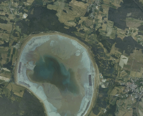
A month ago polish government shared a WMS service providing a link to GeoTIFF imagery file of the country. This is the “first stage of…
Auto Brightness Image Adjustment
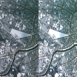
During my search for image normalization or standardization, I found an auto brightness topic to be a start of the mentioned process. The need for…
Detect Buildings in Satellite Imagery Using Machine Learning, FME vs ArcGIS Pro
This is the first time I touched the subject of machine learning in GIS applications and I have never thought of this as a tool…


