

During my work in FME, I often had a need to combine my dataset with a specific country. That necessity led me to create a custom transformer that can be a help for FME users. Below you will read about it in detail.
The short description tells us that CountrySpatialRelator relates your geometries with a specific country on Earth. Output is served as an additional attribute with a country name to your data.
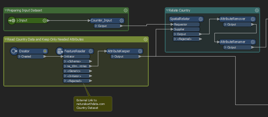
Key Facts about FME Custom Transformer:
- It works for all geometries (tested on points, lines, polygons)
- It uses the NaturalEarthData dataset with a 1:10m scale
- Its output is a simple additional attribute “Country” with its name
- It will find the closes neighbour state in case the traditional spatial relation is not effective
- It’s free in oppose to some geocoding services which comparison you can see in one of my previous posts – Geocoding Services Comparison
How to use Country Spatial Relator?
The custom transformer is available on FME Hub from where you can download it to your FME Desktop, it should be also available by the simple search function of your software.
Additional Information
I have also created another custom transformer for FME which may interest you – Brightness Adjuster.
Thumbnail is from Freepik website.