
Skip to content
SmartCarto.com

SmartCarto.com

Unique blog presenting curious maps and gis methods

  • Home
  • Maps
  • Cartography
  • About
search
search
LandSentinel – A Python App That Automatically Posts Satellite Images to Social Media
May09May 9, 2026GIS

LandSentinel – A Python App That Automatically Posts Satellite Images to Social Media

AI Real Estate Investment Map: Discover Mapvestor
Apr14April 25, 2025Cartography, GIS, Maps, Software

AI Real Estate Investment Map: Discover Mapvestor

Mapvestor: AI-Powered Investment Map for Real Estate Opportunities Mapvestor is an AI real estate investment map app that helps you discover the most promising districts…

Tennis Map – ATP 2022 Calendar – TennisMapp 2
Dec25April 9, 2023Cartography, GIS, Maps

Tennis Map – ATP 2022 Calendar – TennisMapp 2

I have decided to evolve a tennis map application created by me a couple of months ago. This is still a Mapbox map with ATP…

TennisMApp 2021 visualizing ATP tennis tournaments
Aug17April 9, 2023GIS, Maps

TennisMApp 2021 visualizing ATP tennis tournaments

During this year I have uncovered my passion for playing and watching tennis. This motivated me to produce TennisMApp which is an interactive map of…
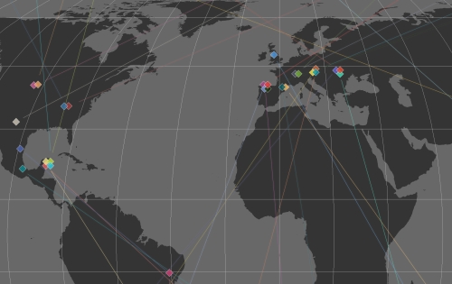
Top 30 Longest Caves on Earth
Apr12April 25, 2020Cartography, Environment, GIS, Maps

Top 30 Longest Caves on Earth

Did you see a map of the localization of the longest caves in the world? Me neither, that’s where the new idea was born to…
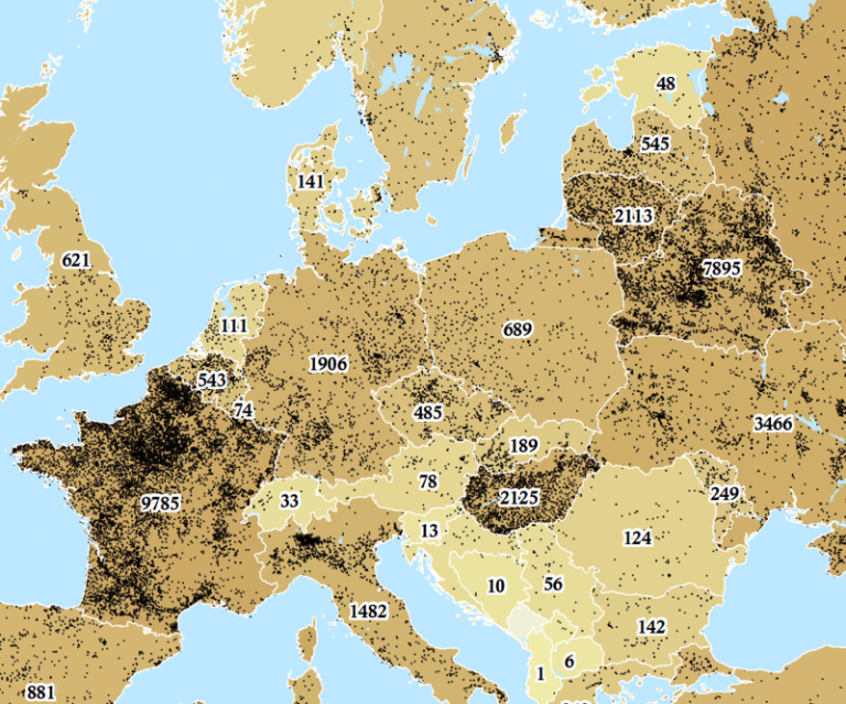
Water Towers in Europe Enriched with Elevation, Addresses and Countries
Feb15April 25, 2020GIS, Maps

Water Towers in Europe Enriched with Elevation, Addresses and Countries

Open Street Map is abundant in extraordinary kind of datasets that often are hidden among main features, for example, water towers. Why water towers? Probably…
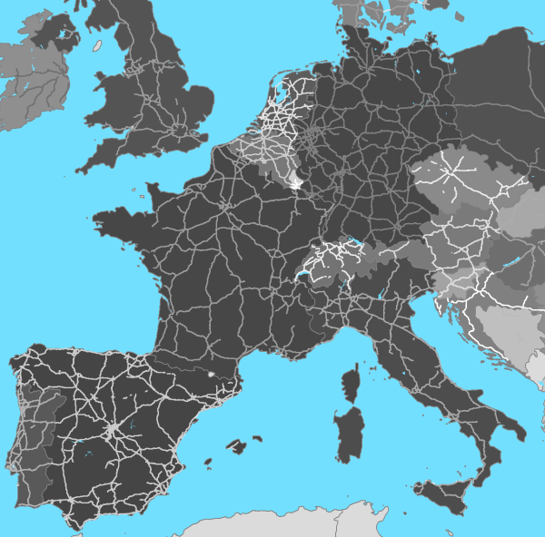
Motorways in European Countries
Jan26January 26, 2020Cartography, GIS, Maps

Motorways in European Countries

There always was an idea in my mind to obtain some data from OSM and try to use it for interesting projects. However, it turned…

Skierbieszowski Park Krajobrazowy - 2022-09-08 - Satellite Image by ESA Sentinel 2A pic.twitter.com/Zv1XgSnB56

— Poland Sentinel (@PolandSentinel) September 13, 2022

Latest Posts

  • LandSentinel – A Python App That Automatically Posts Satellite Images to Social Media
  • AI Real Estate Investment Map: Discover Mapvestor
  • Unveiling ProximityMapp: The Interactive Tool for Discovering Nearby Points of Interest
  • What AI Still Can’t Do for GIS Developers: Understanding the Technical Limitations
  • 10 Must-Use GitHub Libraries for GIS Developers

Subscribe to get notify about new posts!

Share on:

RSS
Facebook
fb-share-icon
Twitter
Tweet
Pinterest
fb-share-icon
LinkedIn
Share
Theme: Reblog by Moral Themes.